
fvxNMwMAgPYBbRMIgMzfD2oIEl23

DM77

Creator

Thu, Apr 30, 2026, 02:33 AM

Caracas, Venezuela

10.50300, -66.90300

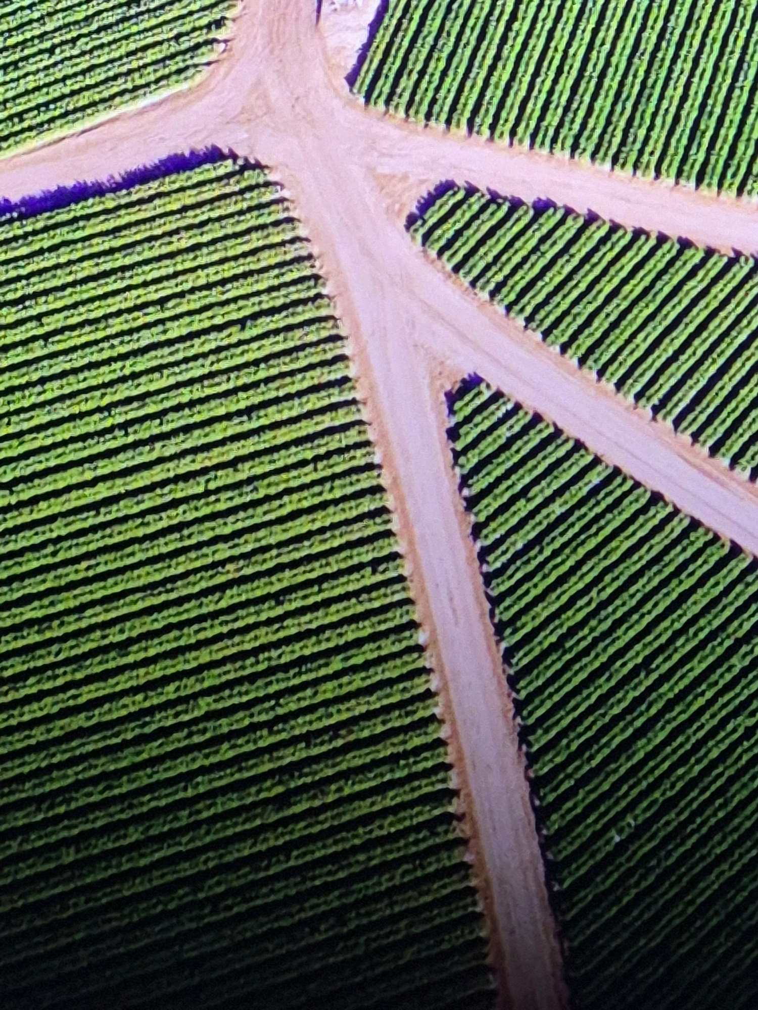
This aerial image presents a structured view of agricultural fields, characterized by long, parallel rows of vibrant green vegetation. The cultivated sections are segmented and interconnected by light…read more

peaceful
orderly
calm
serene
harmonious

Technical

ID

5144adc9-4ce1-4ecc-8

Usage Rights

This media is free for non-commercial use with proper attribution.

Commercial use, AI/ML training, and derivative works are prohibited without explicit consent from the creator.

Licensed under CC BY-NC 4.0 with additional AI/ML restrictions. Full terms β†’

This aerial image presents a structured view of agricultural fields, characterized by long, parallel rows of vibrant green vegetation. The cultivated sections are segmented and interconnected by light-colored, unpaved paths or roads that carve distinct patterns through the landscape, resembling a branching network in places. The overall scene is an organized agricultural setting, likely a farm or plantation, with the linear planting indicative of systematic cultivation. The lighting suggests it is daytime, with clear and sunny weather conditions, evidenced by the distinct shadows cast by the plant rows and the edges of the paths. No individuals or specific farm equipment are visible, focusing the view solely on the geometric patterns of the crops and pathways. There is no visible text within the image. Given the location context of Caracas, Venezuela, this scene depicts an agricultural area within the region, showcasing land use for farming. | Open Wire