
FM-aUS8A2
Creator
Sun, Apr 19, 2026, 10:04 AM
3d ago
Cano Negro, Venezuela
8.66100, -68.35600
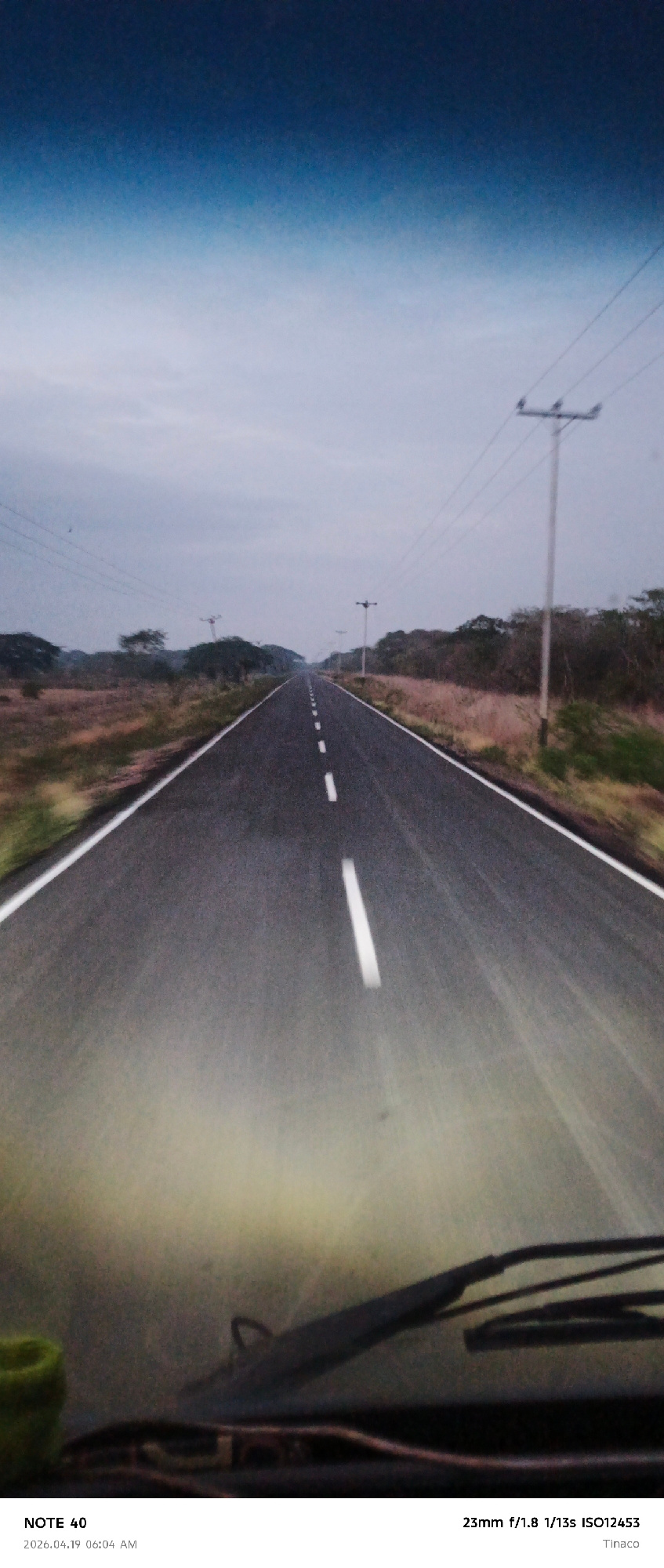
The image depicts a straight, paved road stretching into the distance under a cloudy sky. The road is marked with broken white lines. Sparse vegetation lines either side of the road, with occasional u…read more
[object Object]
[object Object]
[object Object]
[object Object]
[object Object]
Technical
ID
8372acd7-78f2-4f48-b
Usage Rights
This media is free for non-commercial use with proper attribution.
Commercial use, AI/ML training, and derivative works are prohibited without explicit consent from the creator.
Licensed under CC BY-NC 4.0 with additional AI/ML restrictions. Full terms →