
LxD
Creator
Sat, Apr 18, 2026, 04:32 AM
1d ago
Vecsés, Hungary
47.42500, 19.26400
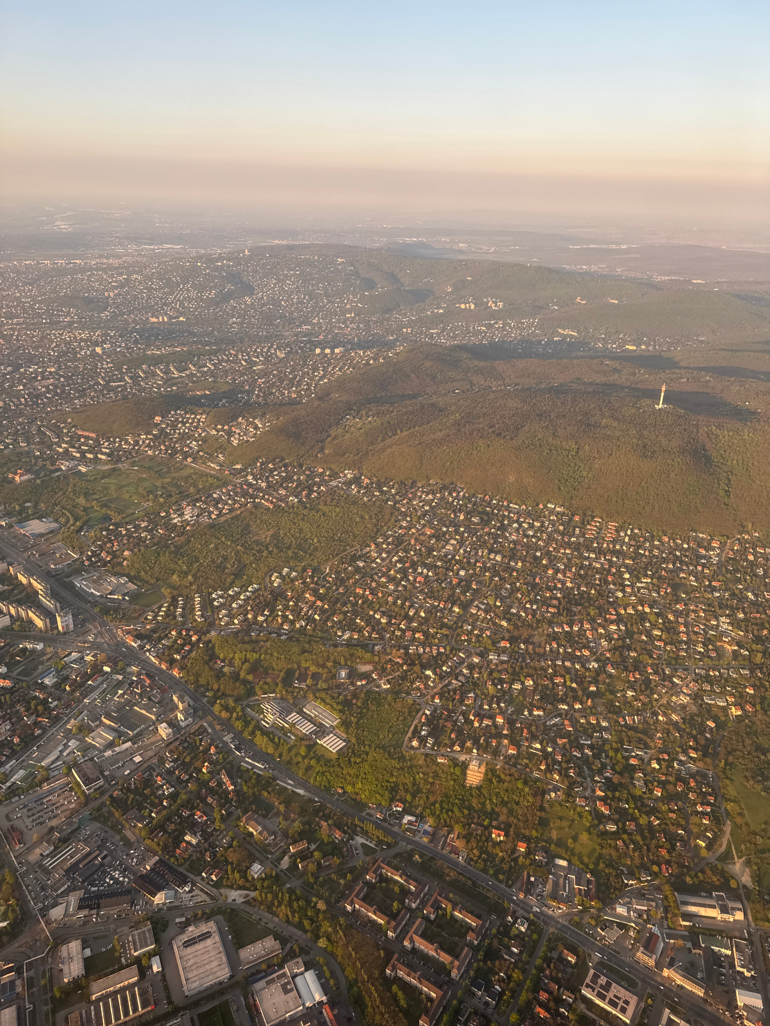
The image is an aerial view of a suburban area, possibly in the vicinity of Vecsés, Hungary. The photograph shows a dense concentration of residential buildings, a mix of houses with orange rooftops i…read more
[object Object]
[object Object]
[object Object]
[object Object]
[object Object]
Technical
ID
a72cc849-5917-4b10-9
Usage Rights
This media is free for non-commercial use with proper attribution.
Commercial use, AI/ML training, and derivative works are prohibited without explicit consent from the creator.
Licensed under CC BY-NC 4.0 with additional AI/ML restrictions. Full terms →