Stake attention in this memory
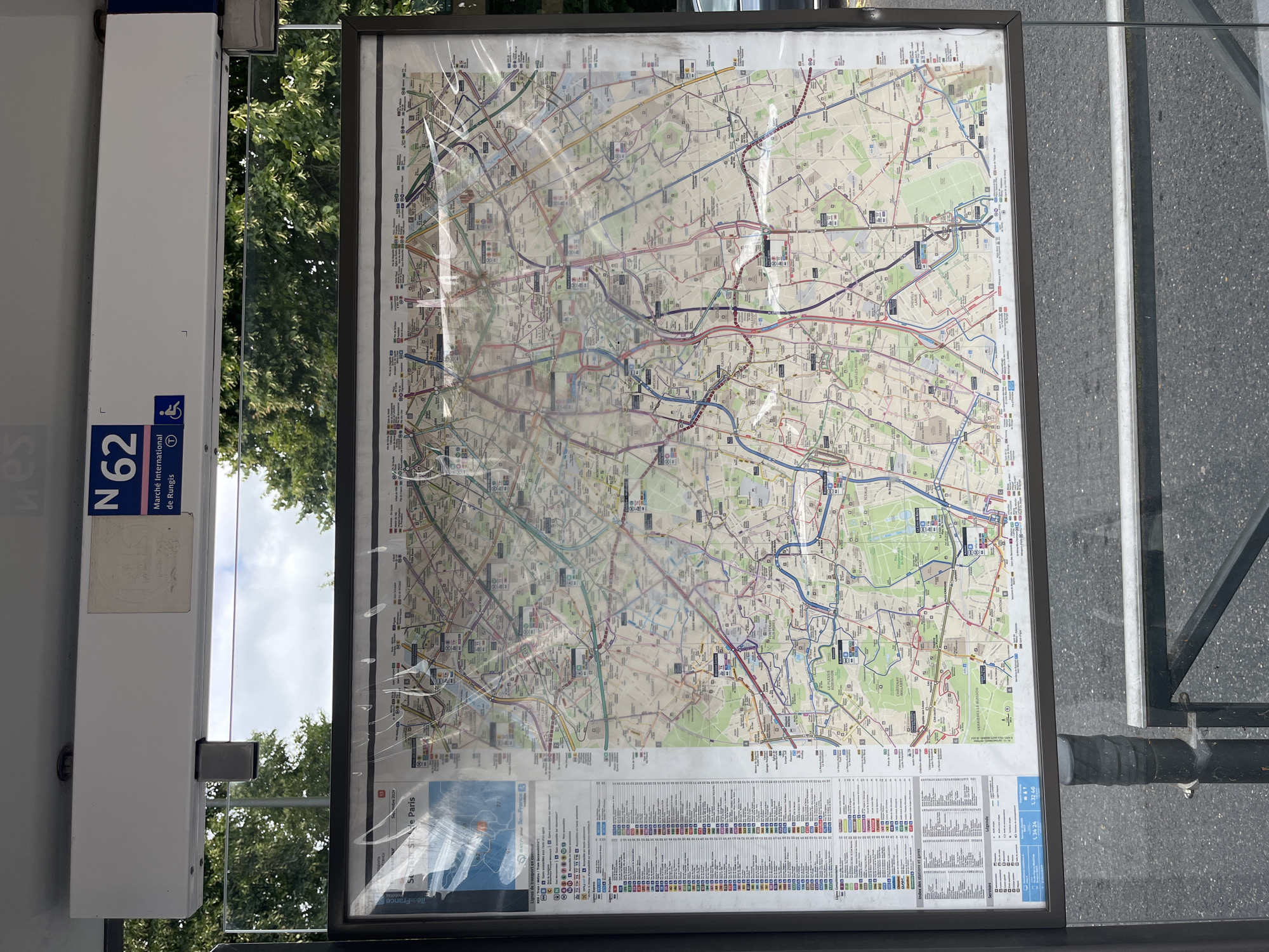
This is a photograph of a bus route map displayed at a bus stop. The map shows various bus lines, metro lines, and tram lines in the Île-de-France region, including Paris. The bus stop structure is white with blue accents, and a sign for bus line "N62" is visible. The map is enclosed in a frame and covered with protective plastic, which shows some signs of wear and tear. The map itself is quite detailed, with numerous colored lines representing different transportation routes. Street names and landmarks are also marked on the map, indicating a complex urban and suburban network. Below the main map, there is a legend or index listing different services and stations. The background suggests an outdoor setting, with trees and foliage visible through the clear plastic of the bus stop shelter. The sky appears overcast or hazy, indicating possibly cloudy weather. The time of day is not clearly discernible, but the lighting suggests daytime. The focus is on the map and the bus stop infrastructure, with no people visible in the frame. The overall scene depicts a public transportation information point in a potentially urban or suburban environment. The text on the map and signs is in French, with "Île-de-France" and "Paris" being prominent location cues. Other visible text includes "N62," "Marché International de Rungis," and a date that appears to be "2024." The image is oriented vertically.
No transactions found