Stake attention in this memory
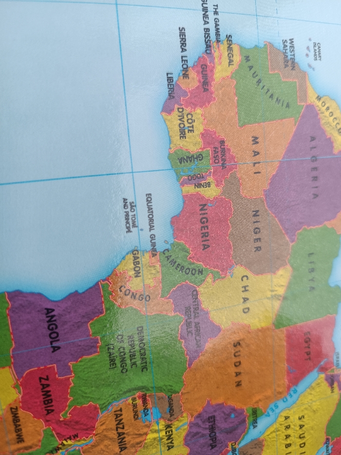
The image presents a slightly tilted, close-up photograph of a physical political map of the African continent. The map displays national borders, country names, and bodies of water, primarily the Atlantic Ocean to the west. The country of Nigeria is prominently depicted in a reddish-pink hue, situated in the central-western portion of the continent shown. While Nigeria is clearly visible on the map, specific city locations such as Ayegbaju are not detailed at this scale. Surrounding countries include Benin, Togo, Ghana, Côte d'Ivoire, Liberia, Sierra Leone, Guinea, Guinea-Bissau, The Gambia, Senegal, Mauritania, Mali, Burkina Faso, Niger, Chad, Cameroon, Equatorial Guinea, Gabon, Congo, Democratic Republic of Congo, Central African Republic, Sudan, Ethiopia, Kenya, Uganda, Rwanda, Burundi, Tanzania, Angola, Zambia, and Zimbabwe. Other regions like Western Sahara, Morocco, Algeria, Libya, and Egypt are also visible, along with islands such as São Tomé and Príncipe and the Canary Islands. The map features horizontal and vertical grid lines, likely representing latitude and longitude. The surface of the map appears smooth, with some minor reflections. No people, active interactions, or external environmental elements are present within the frame.
No transactions found