Stake attention in this memory
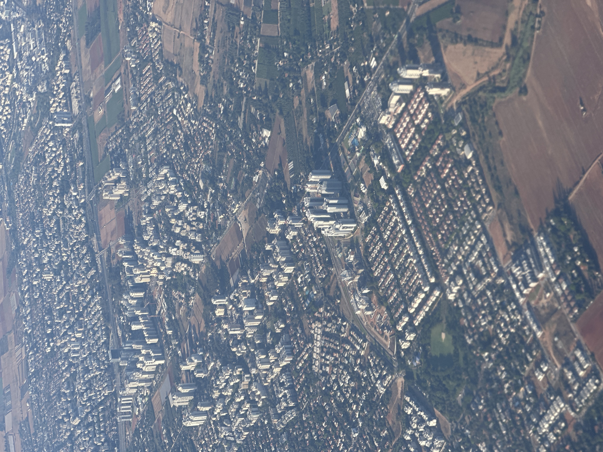
This aerial photograph captures a sprawling urban and agricultural landscape, likely taken on a clear, sunny day, given the distinct shadows cast by buildings. The image is dominated by a dense residential area, characterized by numerous buildings with red-tiled roofs and white facades, arranged in a grid-like pattern. Interspersed with these residential blocks are larger, more modern structures, possibly commercial or institutional buildings, featuring flat roofs and a more uniform architectural style. The urban sprawl extends towards agricultural fields, which appear as rectangular plots of varying colors, suggesting different crops or stages of cultivation. Some fields are a rich green, while others are a lighter brown or tan. A winding road or pathway snakes through the landscape, connecting different parts of the settlement and the surrounding countryside. A prominent feature is a long, linear collection of buildings that appears to be a more structured development, possibly a campus or industrial zone, with several large, rectangular buildings grouped together. The overall impression is one of a well-established and expanding urban center, integrating with its agricultural surroundings. The perspective, looking down at an angle, gives a sense of the vastness of the area and the density of human settlement. No people or specific activities are discernible at this scale, but the presence of residential areas implies daily life and community. The location is identified as Petah Tikva, Israel, which aligns with the visual cues of a Mediterranean climate and the architectural styles observed. No visible text is present in the image.
No transactions found