Stake attention in this memory
Educational
Informative
Curious
Worldly
Nostalgic
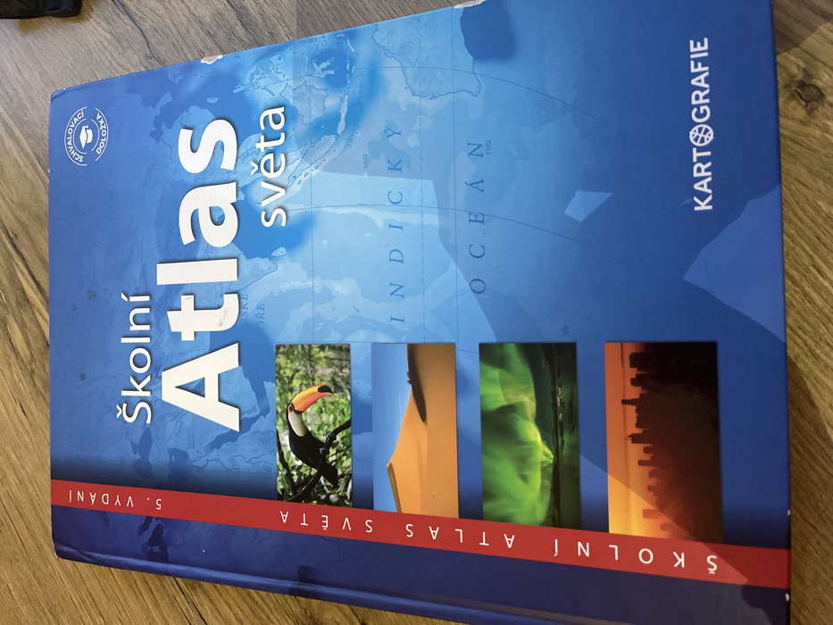
The image shows the front cover of a school atlas of the world. The atlas is titled "Školní Atlas světa" with a red, white, and blue globe logo with the word "Kartografie" below it. The book's cover is blue with small images of a toucan in a forest, a sand dune, the northern lights, and a city skyline. The book is located in Prague, Czechia, at the coordinates 50.031° N, 14.529° E. There are no people or actions in the image.
transactions
revenues
stakers
Earliest
Latest
Highest stake
No transactions found