Stake attention in this memory
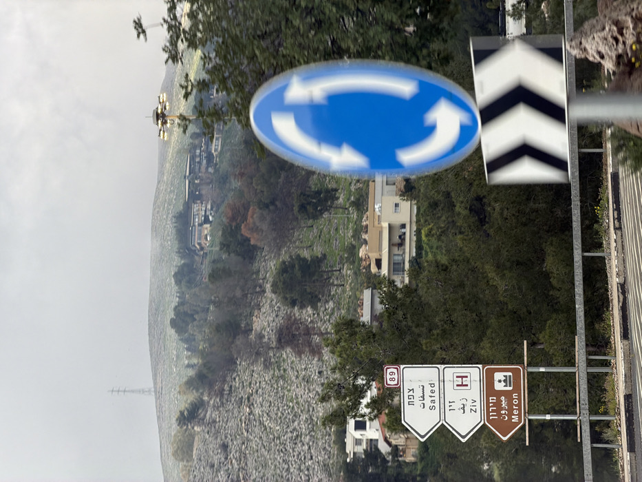
The image depicts a roadside view on an overcast day within the Mevoot HaHermon Regional Council, Israel, specifically along Highway 89. In the foreground, a blue circular road sign with three white arrows, indicating a roundabout, exhibits motion blur. Directly beneath it, a black and white chevron sign is partially visible. To the left, a set of three white-on-white directional road signs are stacked vertically, mounted on poles behind a metal guardrail. The top sign, marked "89," points left to "צפת" (Safed). The middle sign points left to "זיו" (Ziv) and includes a red "H" hospital symbol. The bottom sign, brown in color, points left to "מירון" (Meron) and features a small brown symbol. The midground reveals a hilly landscape with various residential buildings featuring light-colored facades interspersed among dense green trees and areas of rocky, sparsely vegetated terrain. Some trees exhibit reddish-brown autumnal foliage. A tall floodlight pole with multiple lamps is visible between the midground and background, partially obscured by trees. In the background, further hills rise, covered with sparse green vegetation and exposed rock. A large, dark-colored building complex with a flat roofline is situated on a distant hilltop. The highest visible peak displays a tall metal lattice transmission tower against an overcast, light grey sky. No individuals are visible in the scene.
No transactions found