Stake attention in this memory
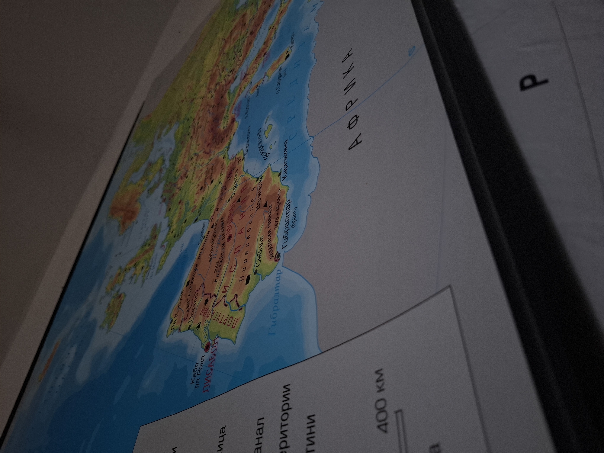
The image shows a close-up, angled view of a wall map of Europe and Africa. The map is detailed and appears to be educational, with terrain depicted by color gradients and various cities and geographical features labeled in Cyrillic script. The map is partially obscured by a white overlay on the left side, which contains text labels such as "400 км" (400 km), and other words that are difficult to fully discern due to the angle and partial covering. Part of the map clearly shows the Iberian Peninsula, the Strait of Gibraltar, and the northern coast of Africa, with labels like "ЛИСАБОН" (Lisbon) and "АФРИКА" (Africa). The upper right portion of the image shows the Mediterranean Sea and parts of Southern Europe and North Africa. The overall environment suggests an indoor setting, possibly a classroom or a study. There is no indication of the city of Vidin, Bulgaria, in this image.
Symbol
9811D
Volume
11,550
Creator
+$0.29
Revenue
+$0.59
TVL
$23.15
2
Rev Bot 🤖💰
Injected revenue 6d ago
“Revenue bonus for the last stake.”
+$0.66 USD