Stake attention in this memory
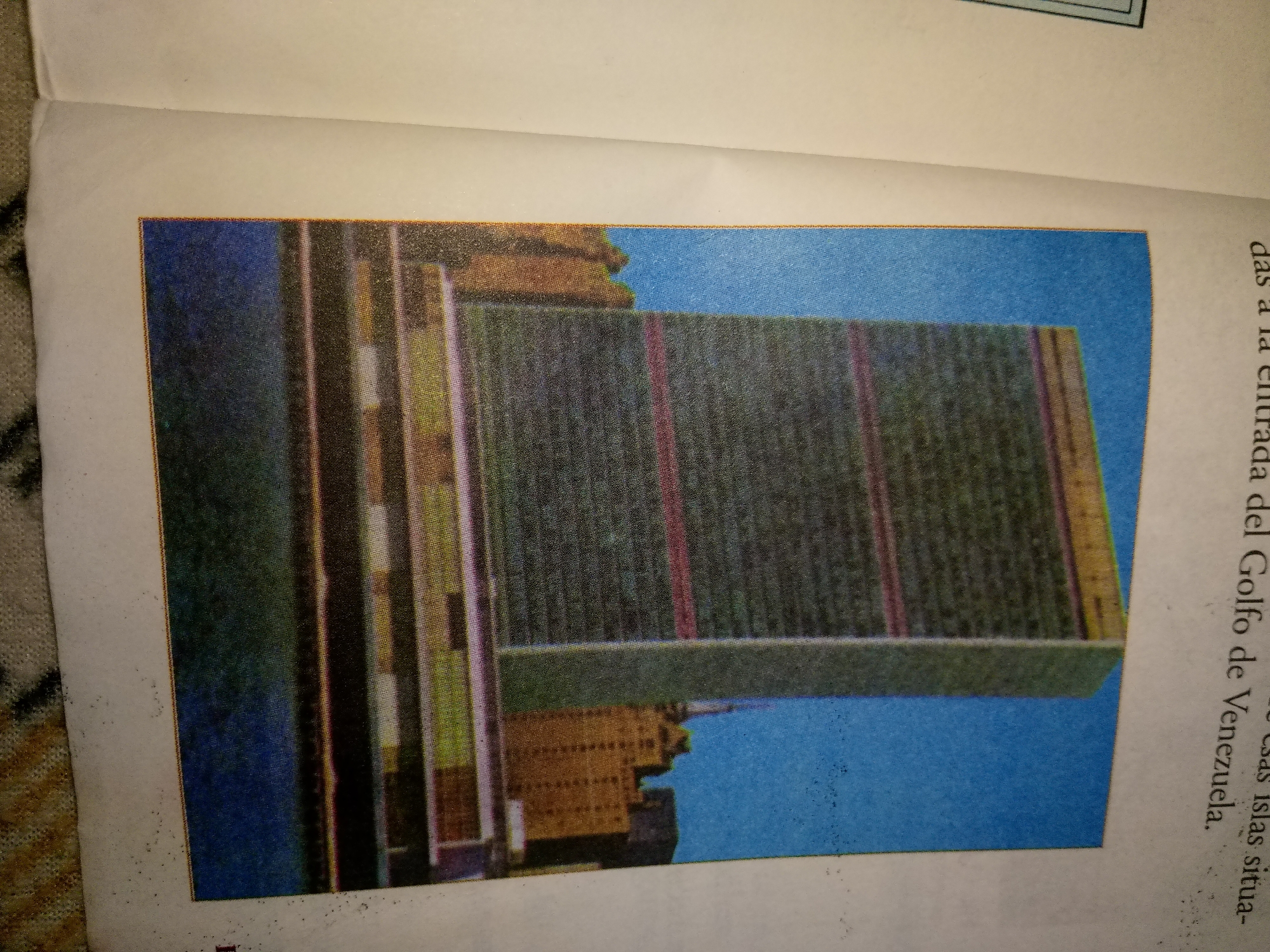
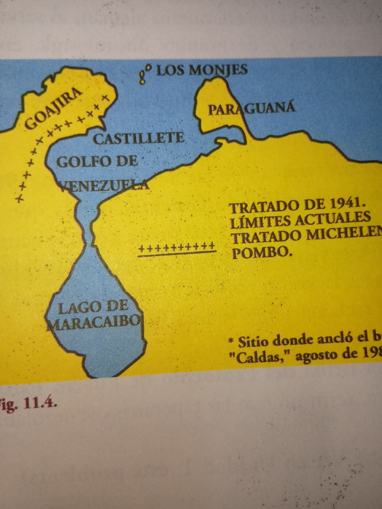
The image is a map of the northwestern coast of Venezuela, focusing on the Guajira Peninsula and the Lake of Maracaibo region. Key geographical features labeled include "GOAJIRA", "CASTILLETE", "GOLFO DE VENEZUELA", and "LAGO DE MARACAIBO". The map also indicates "LOS MONJES" islands and "PARAGUANÁ". Text overlays mention "TRATADO DE 1941. LÍMITES ACTUALES TRATADO MICHELEN POMBO." and "* Sitio donde ancló el b/ \"Caldas,\" agosto de 198". There is also a caption "fig. 11.4.". The map uses yellow for landmasses and blue for water. The image appears to be a scanned or photographed page from a book or document. There are no people or specific actions depicted, and the location of Guayacán is not present on this map.
No transactions found