Stake attention in this memory
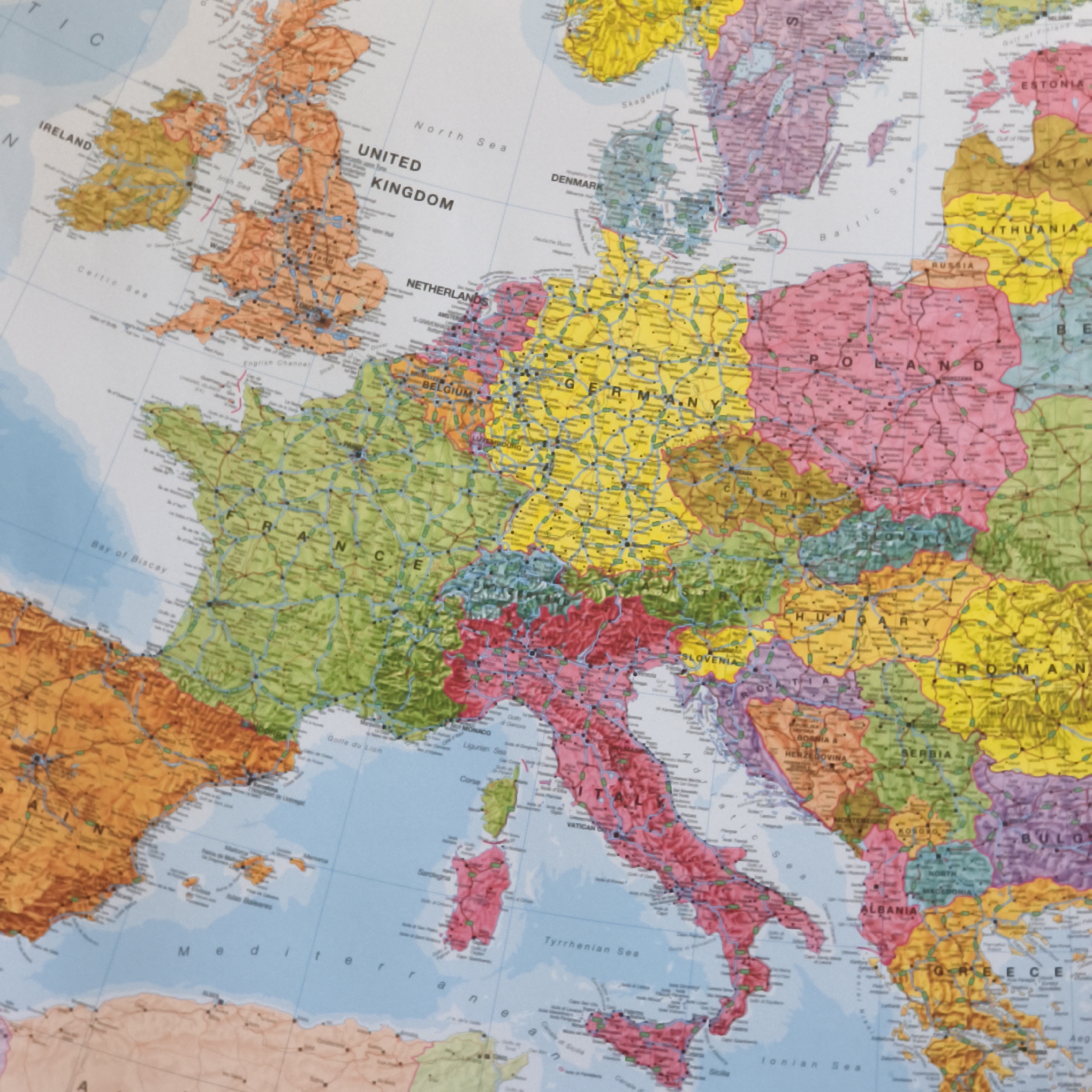
The media file is a close-up, overhead view of a colorful map of Europe. The map is detailed, showing country borders, cities, bodies of water, and some geographical features. The colors used to demarcate countries are varied and distinct, with vibrant shades of orange, yellow, green, red, pink, and blue. Visible text includes country names such as "IRELAND," "UNITED KINGDOM," "NETHERLANDS," "BELGIUM," "FRANCE," "GERMANY," "DENMARK," "POLAND," "HUNGARY," "SLOVENIA," "ITALY," "ALBANIA," and "GREECE." Additionally, names of seas like "Celtic Sea," "Irish Sea," "North Sea," "English Channel," "Bay of Biscay," "Baltic Sea," "Ligurian Sea," "Tyrrhenian Sea," and "Ionian Sea" are legible. Some major cities are also labeled, including "LONDON," "AMSTERDAM," and "WARSZAWA." The image focuses on Western and Central Europe, extending to parts of Eastern Europe and the Mediterranean. The lighting appears even, suggesting an indoor setting, possibly a room with ambient light or a flat-lay photography setup. There are no people or specific events depicted; the focus is solely on the cartographic representation of the European continent. The map itself is the primary object, and the scene is the map laid out. There are no discernible clues about the time of day or weather conditions. The overall impression is one of geographical information being presented visually.
No transactions found