Stake attention in this memory
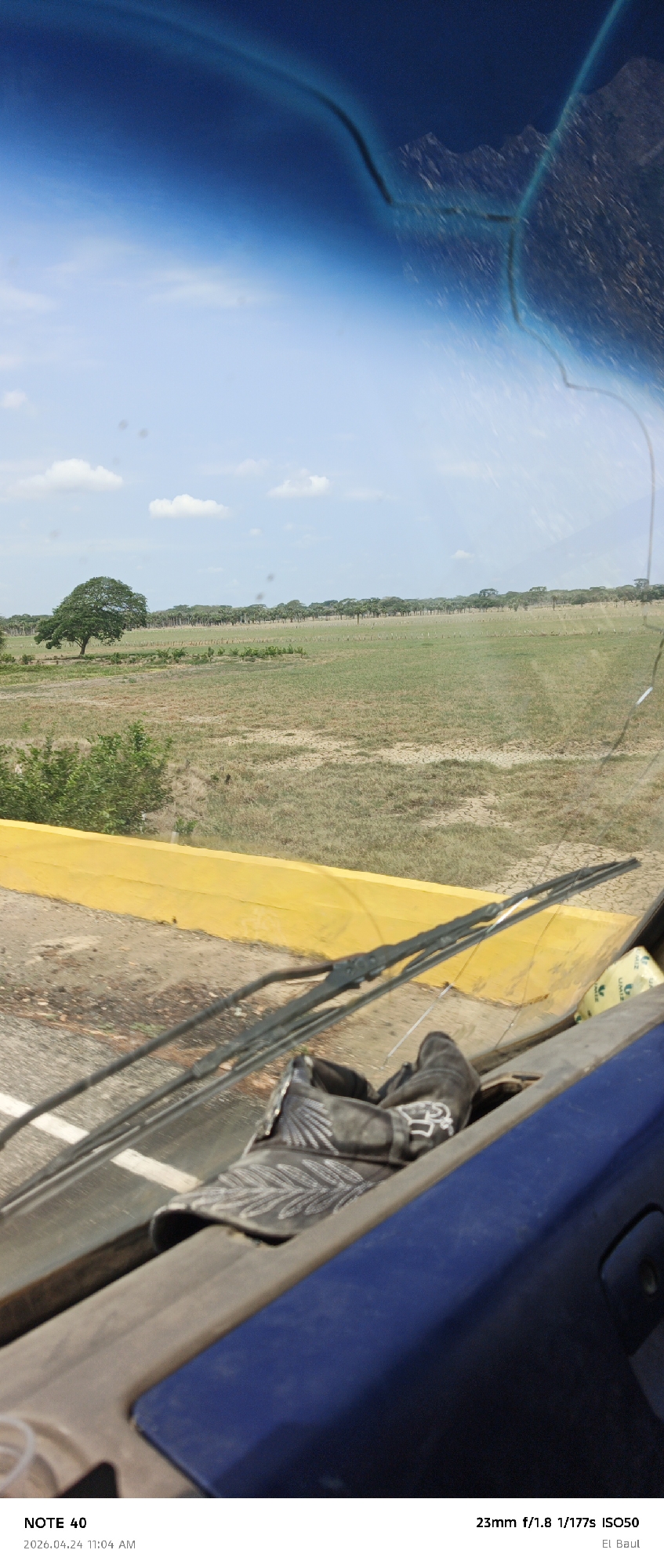
The image depicts a straight asphalt road receding into the distance, lined with trees and scrub vegetation on either side. Power lines run parallel to the road above. The road surface is cracked and shows signs of wear. The photograph was taken from within a vehicle, as indicated by the dashboard and windshield wipers visible in the foreground. The sky is visible above, transitioning from a deep blue at the top to lighter blue with scattered clouds. The image data indicates that the photograph was taken on April 19, 2026, at 03:04 PM using a 23mm lens at f/1.8, 1/198s, ISO50. The geographic coordinates 8°33'30"N 68°21'45"W place the location within the municipality of Arismendi, Venezuela.
No transactions found