Stake attention in this memory
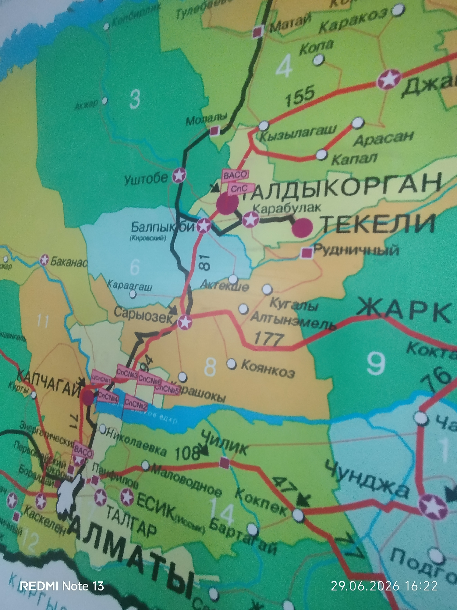
The image is a close-up, slightly blurry, aerial photograph of a section of a map of Kazakhstan. The map displays administrative divisions, cities, towns, roads, and geographical features. The colors are vibrant, with green representing land, blue for water, and various pastel colors for regional boundaries. Prominent text labels in Cyrillic script identify cities such as "ТАЛДЫКОРГАН" (Taldykorgan), "ТЕКЕЛИ" (Tekeli), "АЛМАТЫ" (Almaty), and others. Red lines indicate major roadways, and small circles and stars denote settlements. Numerical labels are also present, likely representing distances or regional designations. The bottom right corner of the image shows a timestamp: "29.06.2026 16:22" and "REDMI Note 13" is overlaid on the bottom left. The map appears to be a current or near-future representation, given the date.
Symbol
E4C6E
Volume
130
Creator
+$0.00
Revenue
+$0.00
TVL
$0.02