IMAGE

Agni13
Creator
Fri, Jun 19, 2026, 04:35 PM
5d ago
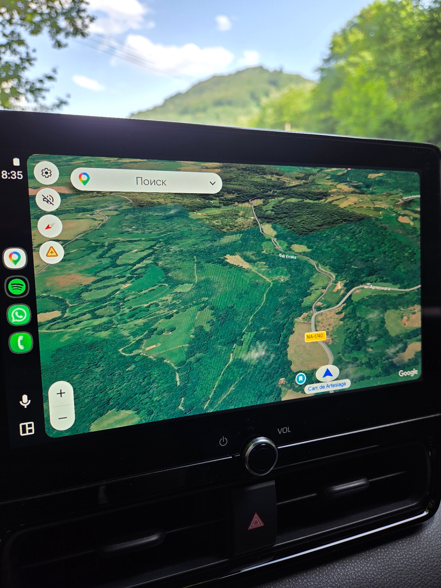
Baztan, Spain
43.11200, -1.53600
The image shows a car's dashboard display showing a Google Maps navigation screen. The map displays a satellite view of a rural, mountainous area with green forests, fields, and a winding road. The ro…read more
anticipation
adventure
curiosity
wanderlust
optimism
Technical
ID
14aa5052-4c27-4359-a
Usage Rights
This media is free for non-commercial use with proper attribution.
Commercial use, AI/ML training, and derivative works are prohibited without explicit consent from the creator.
Licensed under CC BY-NC 4.0 with additional AI/ML restrictions. Full terms →