
Preso
Creator
Sun, May 10, 2026, 09:11 AM
Sofia, Bulgaria
42.69800, 23.32200
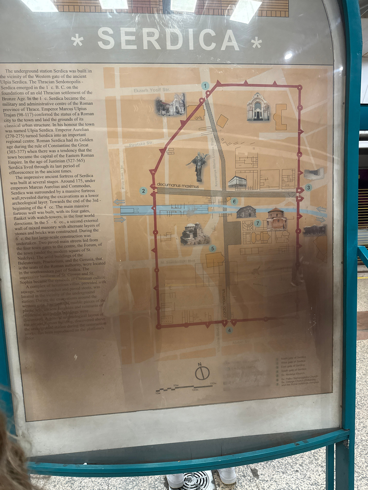
This image shows a map of ancient Serdica (now Sofia, Bulgaria) displayed on a sign near the Serdica underground station. The map outlines the boundaries of the Roman-era city with a red line, marking…read more
historical
educational
informative
archaeological
cultural
Technical
ID
1a363fd1-3258-42bc-8
Usage Rights
This media is free for non-commercial use with proper attribution.
Commercial use, AI/ML training, and derivative works are prohibited without explicit consent from the creator.
Licensed under CC BY-NC 4.0 with additional AI/ML restrictions. Full terms →