
Alberto Rodríguez
Creator
Wed, Jun 10, 2026, 06:48 AM
14d ago
La Tagua, Venezuela
11.06600, -63.94800
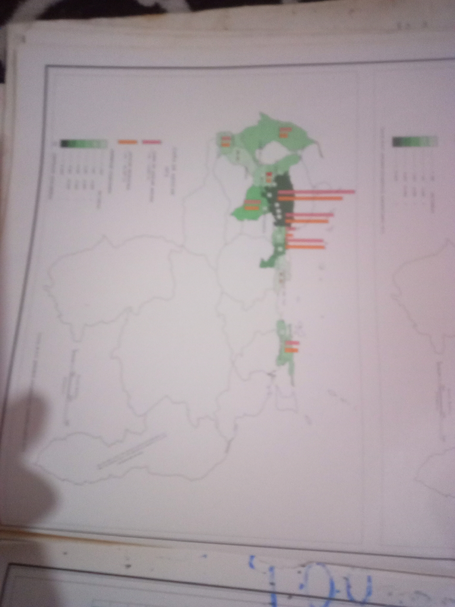
The image shows a map with superimposed data. On the left side of the map, there is a legend with color gradients and text, indicating some kind of data visualization. There are also bar charts with o…read more
analytical
informative
data-driven
cartographic
statistical
Technical
ID
40ba7450-01df-464f-a
Usage Rights
This media is free for non-commercial use with proper attribution.
Commercial use, AI/ML training, and derivative works are prohibited without explicit consent from the creator.
Licensed under CC BY-NC 4.0 with additional AI/ML restrictions. Full terms →