IMAGE

Aniska
Creator
Fri, Jun 19, 2026, 09:31 AM
6d ago
Novokuznetsk, Russia
53.74800, 87.11600
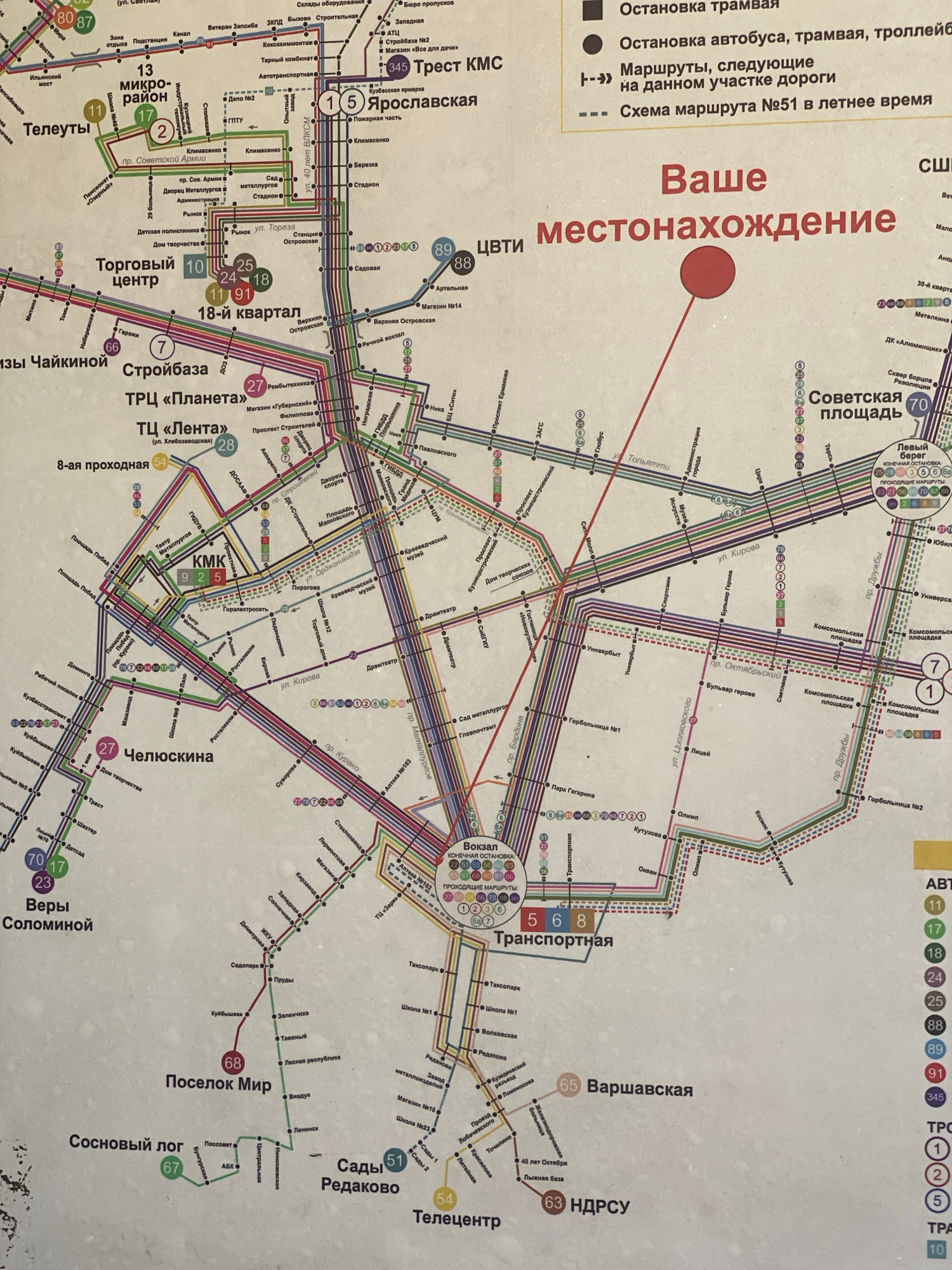
This image is a section of a public transportation map of Novokuznetsk, Russia. It details bus, tram, and trolleybus routes, with color-coded lines and numbered stops. Key locations marked include "То…read more
oriented
navigational
informative
detailed
planning
Technical
ID
48a049a6-c015-4c43-8
Usage Rights
This media is free for non-commercial use with proper attribution.
Commercial use, AI/ML training, and derivative works are prohibited without explicit consent from the creator.
Licensed under CC BY-NC 4.0 with additional AI/ML restrictions. Full terms →