IMAGE

FM-nKjSV2
Creator
Fri, Jun 19, 2026, 12:01 PM
6d ago
Kalabaka, Greece
39.70700, 21.62500
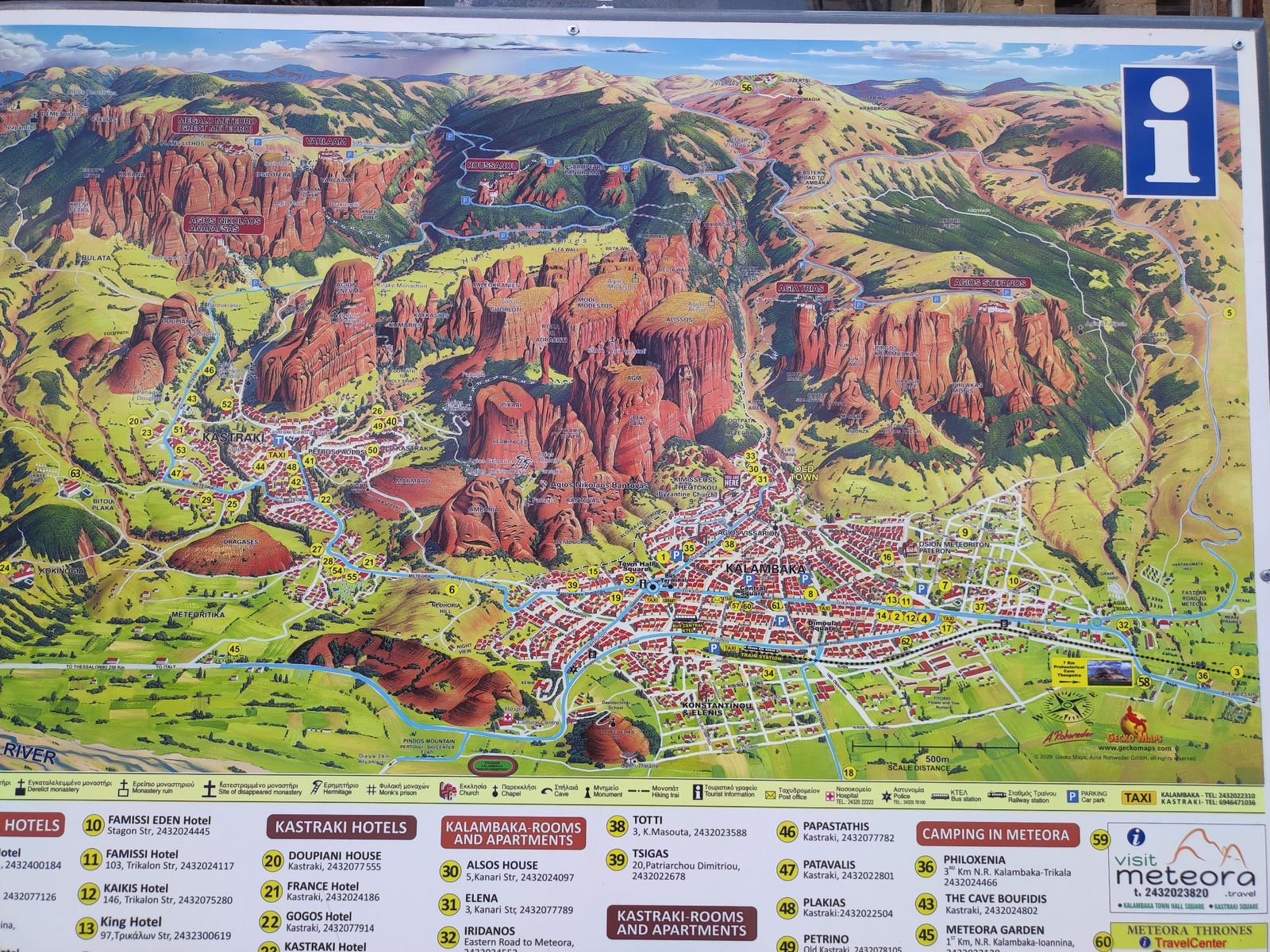
This is a detailed, illustrated tourist map of Meteora, Greece, a region famous for its rock formations and ancient monasteries. The map depicts the iconic sandstone pillars with monasteries perched a…read more
awe
wonder
discovery
adventure
curiosity
Technical
ID
4e88ab13-2fdc-4758-b
Usage Rights
This media is free for non-commercial use with proper attribution.
Commercial use, AI/ML training, and derivative works are prohibited without explicit consent from the creator.
Licensed under CC BY-NC 4.0 with additional AI/ML restrictions. Full terms →