
Nypple
Creator
Tue, Mar 17, 2026, 10:01 AM
Peschiera Borromeo, Italy
45.44844, 9.28053
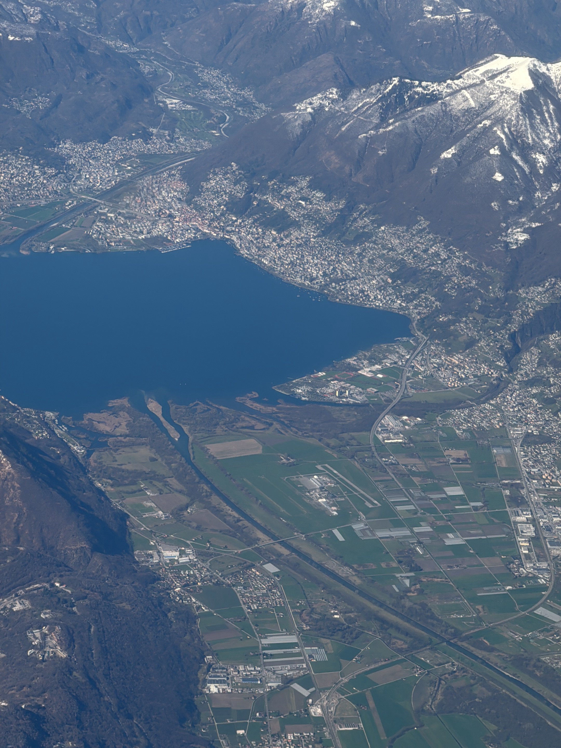
This is an expansive aerial photograph capturing a diverse landscape composed of towering mountains, a large lake, and significant urban and agricultural development. The upper and right portions of…read more
Serenity
Awe
Wonder
Peacefulness
Calm
Technical
ID
56d7c0ffcd9cba8292a80bb53d45eb67f1857c5d1e2e6b7b009ec2f76a249446
Usage Rights
This media is free for non-commercial use with proper attribution.
Commercial use, AI/ML training, and derivative works are prohibited without explicit consent from the creator.
Licensed under CC BY-NC 4.0 with additional AI/ML restrictions. Full terms →