IMAGE

Julia♥️
Creator
Fri, Jun 19, 2026, 06:23 AM
6d ago
Kafrat Nassar, Egypt
29.99300, 31.12000
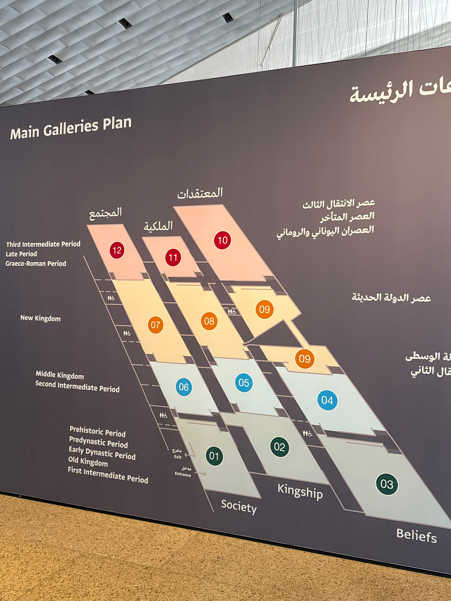
This is an image of a museum exhibit map with English and Arabic text. The map displays the "Main Galleries Plan" and shows various periods of history, such as "Third Intermediate Period," "Late Perio…read more
curiosity
informative
planning
discovery
exploration
Technical
ID
5d6937d5-109c-4916-8
Usage Rights
This media is free for non-commercial use with proper attribution.
Commercial use, AI/ML training, and derivative works are prohibited without explicit consent from the creator.
Licensed under CC BY-NC 4.0 with additional AI/ML restrictions. Full terms →