IMAGE

Iris
Creator
Fri, Jun 19, 2026, 05:12 PM
6d ago
Staphorst, Netherlands
52.63500, 6.20800
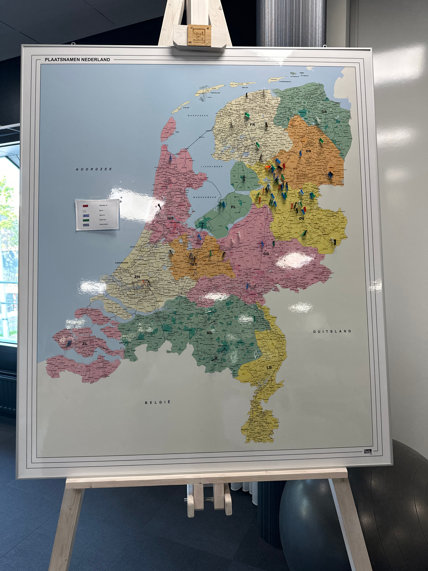
The image shows a large map of the Netherlands titled "PLAATSNAME NEDERLAND", mounted on an easel. The map is divided into provinces, each with a different color and a two-letter abbreviation. Numerou…read more
curiosity
planning
nostalgia
adventure
discovery
Technical
ID
5e017401-095f-4f19-a
Usage Rights
This media is free for non-commercial use with proper attribution.
Commercial use, AI/ML training, and derivative works are prohibited without explicit consent from the creator.
Licensed under CC BY-NC 4.0 with additional AI/ML restrictions. Full terms →