IMAGE

FM-S3I0C3
Creator
Fri, Jun 19, 2026, 06:49 PM
5d ago
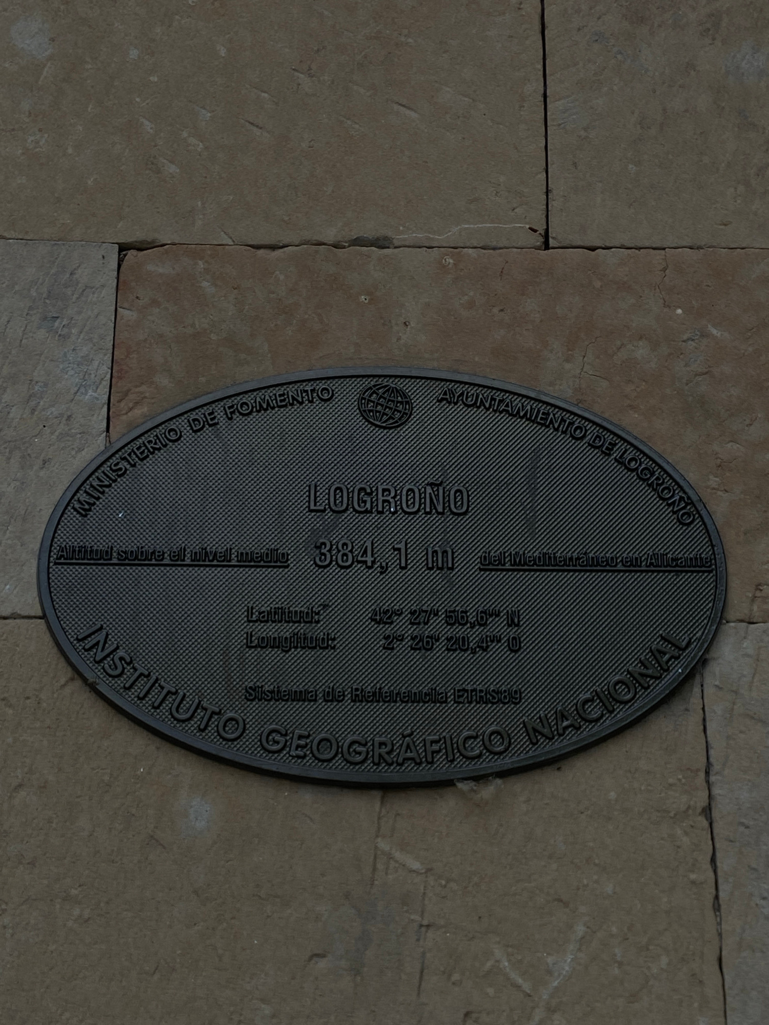
Logroño, Spain
42.46600, -2.43900
The image shows a dark, oval-shaped plaque attached to a stone wall. The plaque is embossed with text and a globe logo. The text on the plaque indicates that it is located in Logroño, Spain. It states…read more
nostalgic
curious
informative
historical
grounded
Technical
ID
a04be13e-dc0a-4d72-8
Usage Rights
This media is free for non-commercial use with proper attribution.
Commercial use, AI/ML training, and derivative works are prohibited without explicit consent from the creator.
Licensed under CC BY-NC 4.0 with additional AI/ML restrictions. Full terms →