IMAGE

FM-CTDt22
Creator
Fri, Jun 19, 2026, 08:33 PM
6d ago
Homyel, Belarus
52.41200, 30.93000
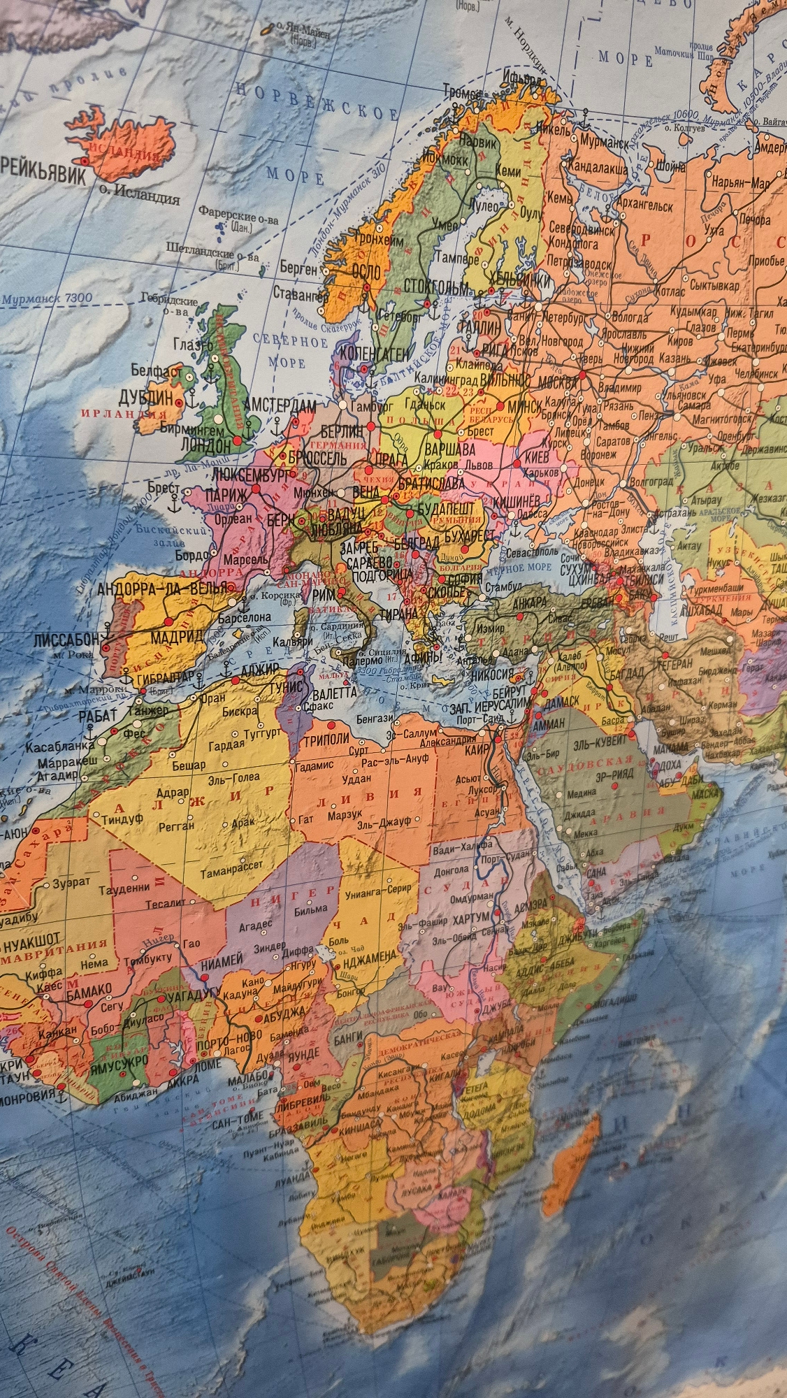
The image is a close-up, slightly angled photograph of a colorful political map of Europe, Northern Africa, and parts of the Middle East. The map displays country borders, major cities, seas, and some…read more
curiosity
awe
nostalgia
discovery
wanderlust
Technical
ID
a0a914a1-acd7-430f-8
Usage Rights
This media is free for non-commercial use with proper attribution.
Commercial use, AI/ML training, and derivative works are prohibited without explicit consent from the creator.
Licensed under CC BY-NC 4.0 with additional AI/ML restrictions. Full terms →