Florya
Creator
Wed, Apr 22, 2026, 12:31 PM
Kuta Selatan, Indonesia
-8.82500, 115.14700
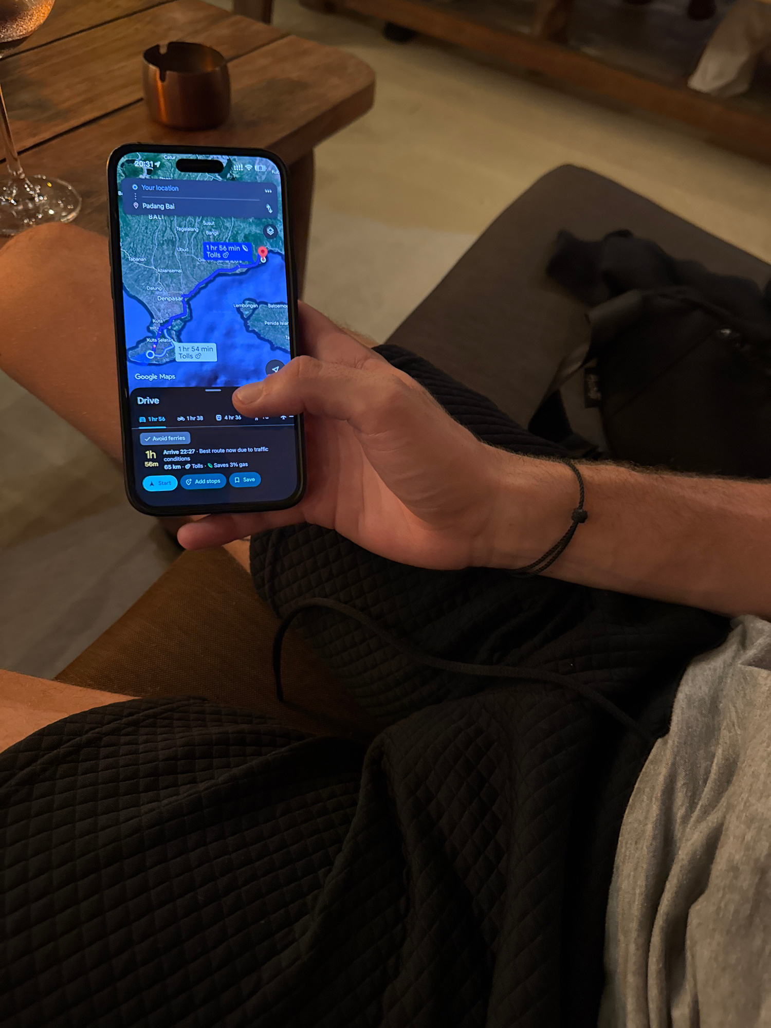
An overhead, slightly angled shot captures a person's arm and legs, focusing on their use of a smartphone in what appears to be an indoor setting during the evening. The person, wearing a grey t-shirt…read more
anticipation
planning
curiosity
relaxation
travel
Technical
ID
bcf521f0-7bc7-4b32-a
Usage Rights
This media is free for non-commercial use with proper attribution.
Commercial use, AI/ML training, and derivative works are prohibited without explicit consent from the creator.
Licensed under CC BY-NC 4.0 with additional AI/ML restrictions. Full terms →