
cruzaleja
Creator
Fri, Jun 12, 2026, 12:27 AM
10d ago
La Tagua, Venezuela
11.07000, -63.94900
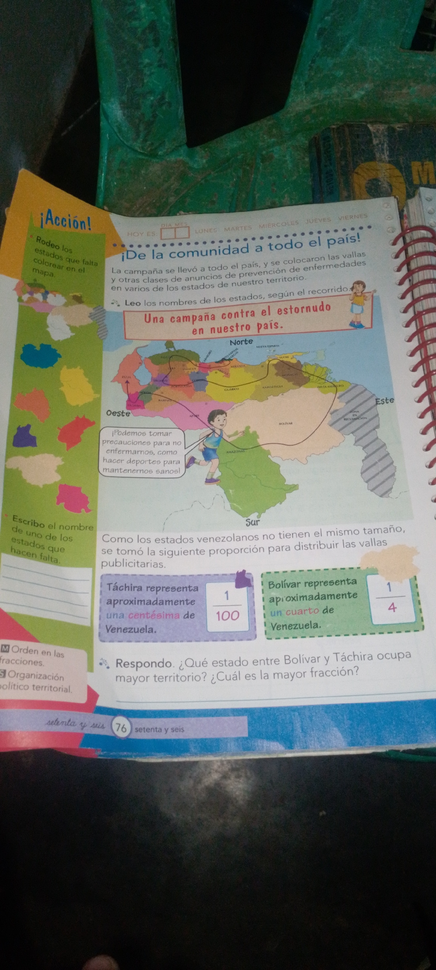
The image is a page from a workbook or educational material featuring a map of Venezuela. The map is colored and shows various states, with some areas highlighted or marked with text. There are also t…read more
informative
educational
geographical
illustrative
engaging
Technical
ID
bdb93990-5d40-4317-b
Usage Rights
This media is free for non-commercial use with proper attribution.
Commercial use, AI/ML training, and derivative works are prohibited without explicit consent from the creator.
Licensed under CC BY-NC 4.0 with additional AI/ML restrictions. Full terms →