IMAGE

Elyar
Creator
Sun, Jun 21, 2026, 07:46 PM
3d ago
Dushanbe, Tajikistan
38.56700, 68.81200
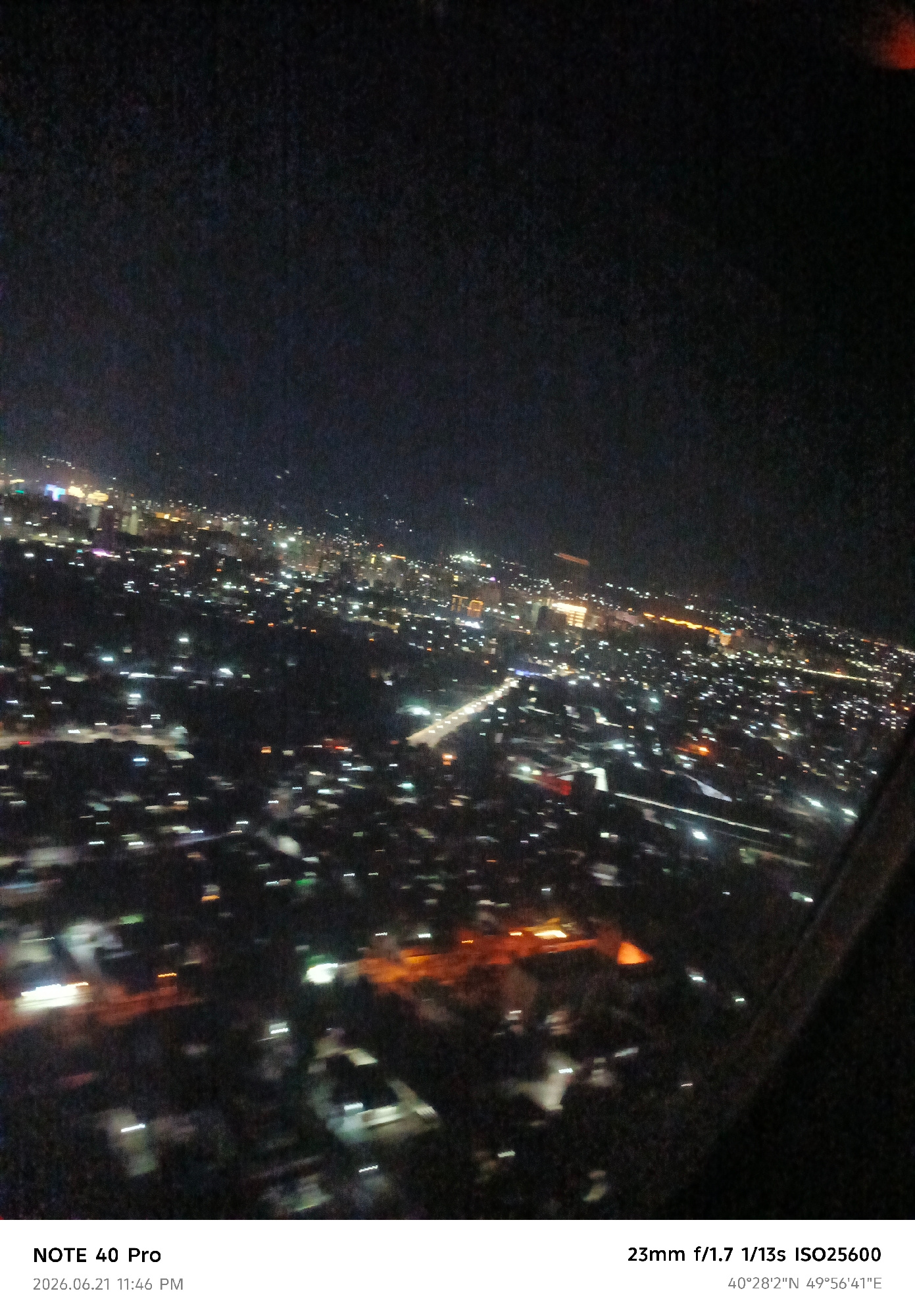
An aerial, slightly blurred night-time view of a city is captured, characterized by a dense network of illuminated buildings and streetlights. The photograph, taken from a high vantage point, likely a…read more
wonder
awe
serenity
loneliness
dreamy
Technical
ID
be3d9c06-ebae-42c5-9
Usage Rights
This media is free for non-commercial use with proper attribution.
Commercial use, AI/ML training, and derivative works are prohibited without explicit consent from the creator.
Licensed under CC BY-NC 4.0 with additional AI/ML restrictions. Full terms →