
bombolico
Creator
Thu, Jun 25, 2026, 02:48 PM
1d ago
La Tagua, Venezuela
11.06600, -63.94800
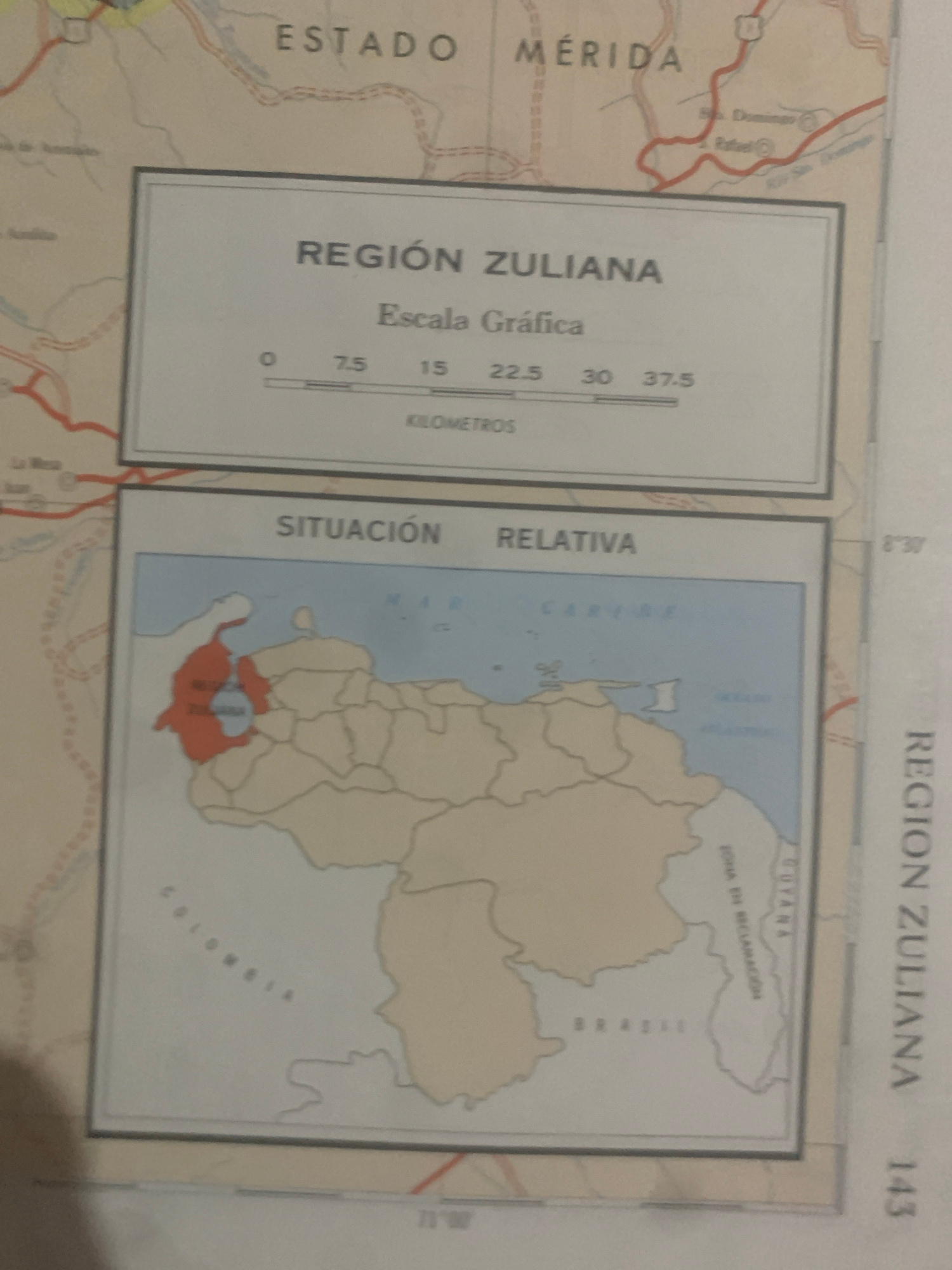
This is a photograph of a map that appears to be from a book or atlas. The map shows geographical regions of Venezuela, with a focus on the "Región Zuliana" and the "Estado Mérida." The map is divide…read more
informative
educational
neutral
analytical
formal
Technical
ID
e3d2e11e-82fb-4ad0-9
Usage Rights
This media is free for non-commercial use with proper attribution.
Commercial use, AI/ML training, and derivative works are prohibited without explicit consent from the creator.
Licensed under CC BY-NC 4.0 with additional AI/ML restrictions. Full terms →