
bombolico
Creator
Thu, Jun 25, 2026, 02:47 PM
1d ago
La Tagua, Venezuela
11.06600, -63.94800
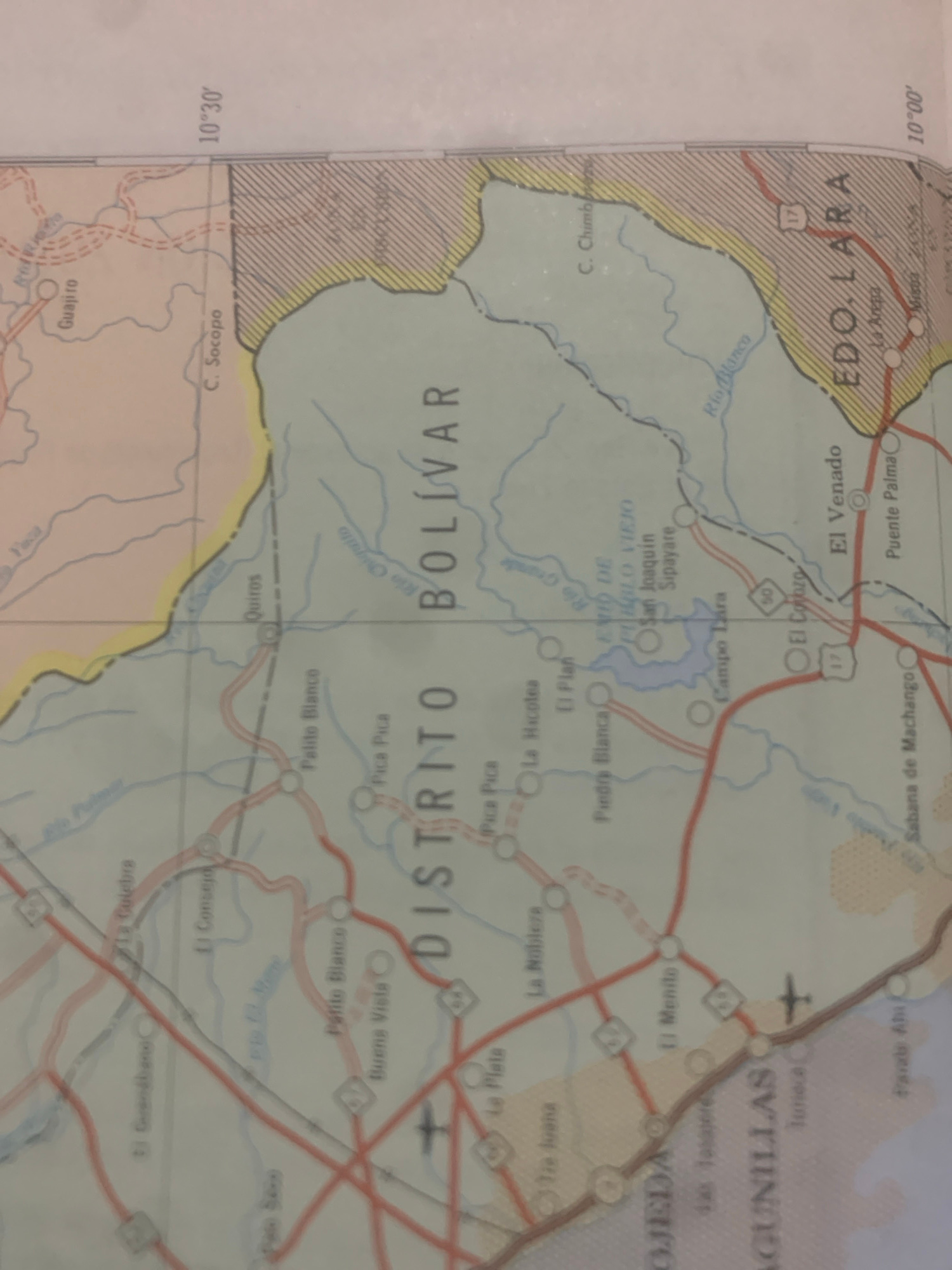
This is a close-up, rotated photograph of a map of Venezuela, specifically focusing on the states of Lara and Bolivar. The map displays geographical features such as rivers (Rio Blanco, Rio Grande, Ri…read more
analytical
curious
nostalgic
focused
calm
Technical
ID
f5767c5c-c06b-4a55-b
Usage Rights
This media is free for non-commercial use with proper attribution.
Commercial use, AI/ML training, and derivative works are prohibited without explicit consent from the creator.
Licensed under CC BY-NC 4.0 with additional AI/ML restrictions. Full terms →