
Stake attention in this memory
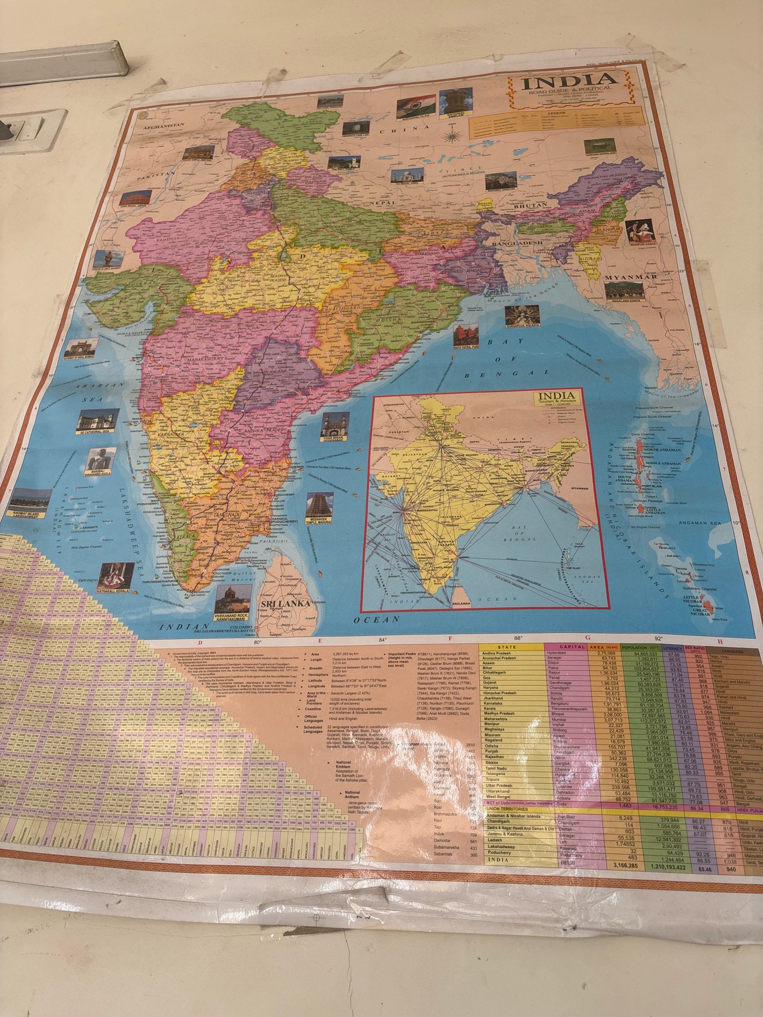
The image displays a large political map of India hanging on a light-colored wall. The map is detailed, showing states, capitals, geographical features, and surrounding countries like Pakistan, Afghanistan, China, Nepal, Bhutan, Bangladesh, and Myanmar. A smaller inset map of India is also visible. The map appears to be a "India Road Guide & Political" map and includes a legend and a table with various statistics related to Indian states, such as area, population, literacy, and sex ratio. To the left of the map, a white electrical conduit and a light fixture are attached to the wall. The bottom edge of the map is slightly creased and shows signs of being taped to the wall. The scene appears to be an interior setting, likely an office or educational institution, given the presence of the map and educational-style data. The specific location in Pune, India, is not explicitly indicated on the map or within the visible portion of the image.
Symbol
39E97
Volume
17,474
Creator
+$0.03
Revenue
+$0.04
TVL
$4.29
Loading AttnAds…

More from this user
More from Pune