
Stake attention in this memory
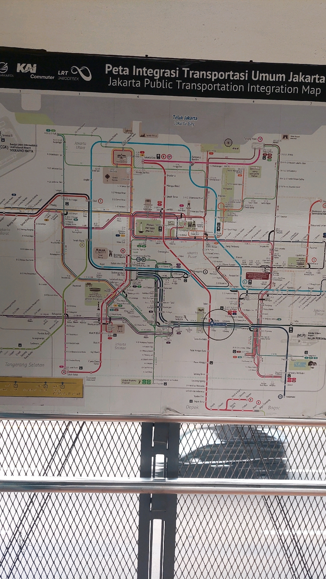
This is a detailed photograph of a Jakarta Public Transportation Integration Map, likely displayed in a public area. The map is large and laminated, covering various modes of transportation including trains, buses, and possibly light rail. It features a complex network of colored lines representing different routes, with numerous station names and route numbers marked. The map is mounted on a wall and is partially obscured by a metal grate in the foreground, suggesting it is behind a barrier or window. The overall environment appears to be indoors, with the lighting suggesting an artificial source. There are no visible people or animals in the image. The map itself is the primary subject. The location in the city of South Jakarta is indicated by labels on the map such as "Jakarta Selatan," "Tanjung Barat," "Lebak Bulus," and "Ragunan," which are all areas within South Jakarta.
Loading AttnAds…
No transactions found