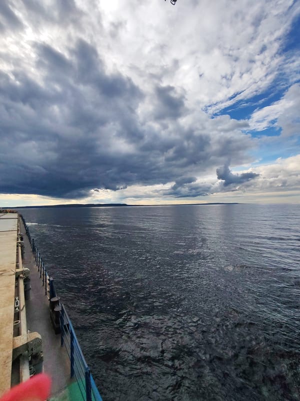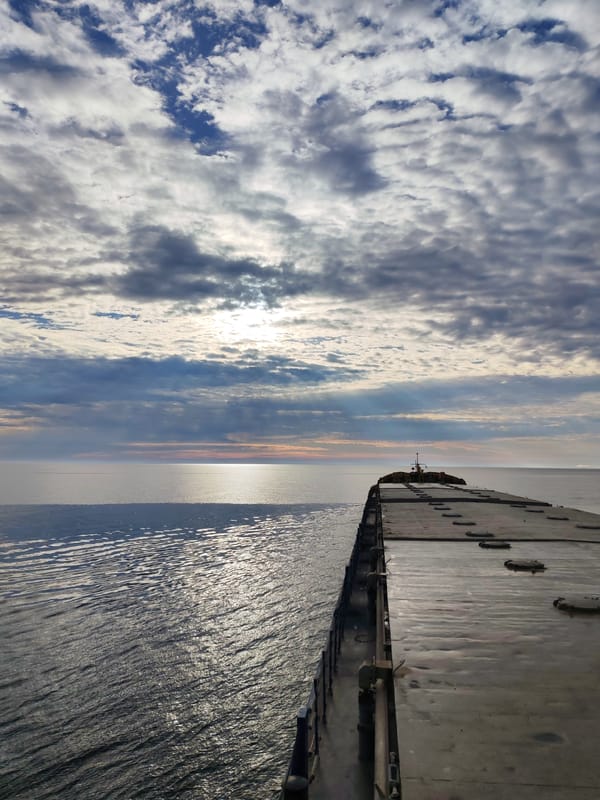
Stake attention in this memory
curiosity
adventure
exploration
nostalgia
planning
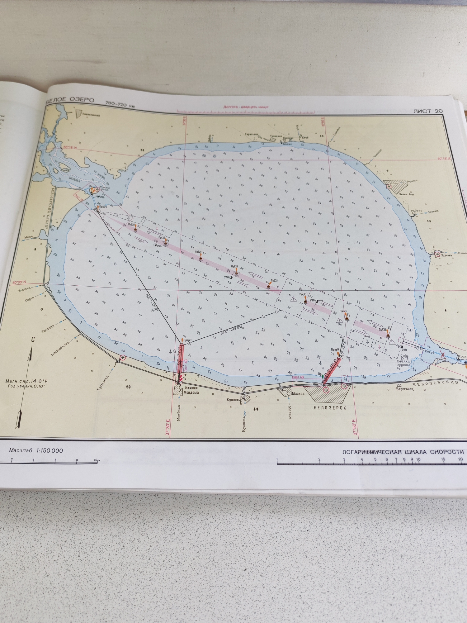
The image shows a page from a nautical chart of the Beloye Ozero (White Lake) in Russia. The chart displays water depths, navigational markers, and coastal features, including settlements and geographical names. The chart is oriented with North to the right. Specific locations marked on the chart include "Белозерск" (Belozersk), "Ковжа" (Kovzha), and various islands and bays. The scale of the map is 1:150,000, and a logarithmic speed scale is also visible. The chart appears to be old, with faded colors and some signs of wear.
transactions
revenues
stakers
Earliest
Latest
Highest stake
No transactions found