
Mar 6, 2026, 12:15 PM
Stake attention in this memory
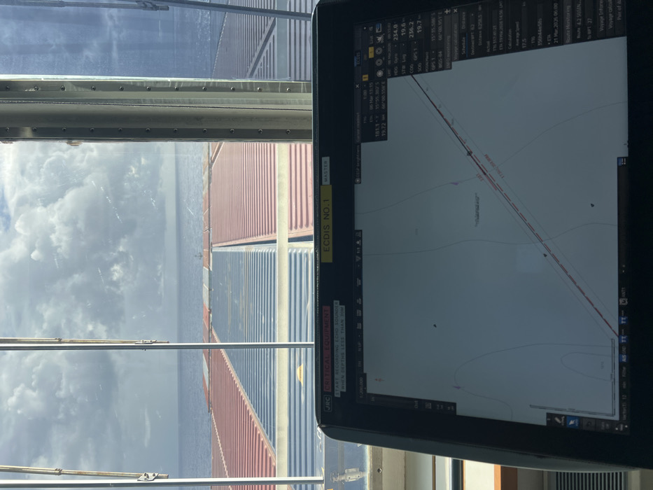
This image depicts a view from the bridge of a container ship at sea, near 75°55.580 S, 000°00.559 E, as indicated on the navigation system. In the foreground, a JRC brand "ECDIS No. 1" (Electronic Chart Display and Information System), labeled "CRITICAL EQUIPMENT," displays a digital nautical chart with a plotted course (red line), bathymetric contours, and real-time navigational data including the date "06 Mar 2020 13:15," GPS coordinates, and a speed of 19.7 knots. Above the display, through the bridge windows, the ship's forward deck is visible, stacked with multiple rows of predominantly dark blue and reddish-brown shipping containers. Beyond the containers, the calm, dark blue ocean extends to the horizon under a partly cloudy sky with scattered cumulus formations. Vertical metal window frames divide the exterior view. No individuals are present in the scene.
Loading AttnAds…
No transactions found
More from this user