
Stake attention in this memory
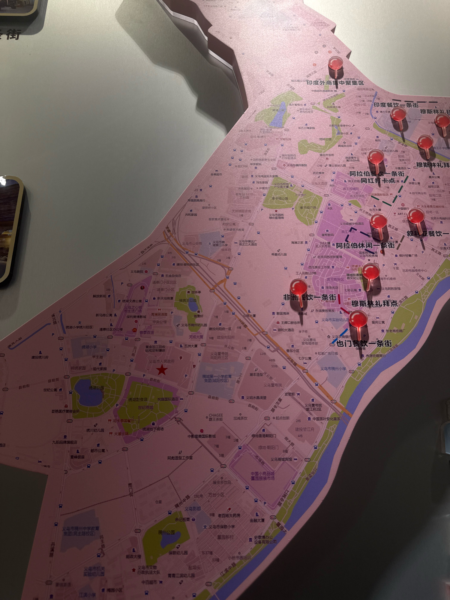
The image is a photograph of a large, detailed map of Yiwu, China, likely a tourist or informational map. The map is mounted on a wall and is overlaid with several red pushpins, indicating specific locations or points of interest. The map is pinkish-purple in color and features a complex network of streets, roads, and geographical features. Various buildings, businesses, parks, and residential areas are labeled in Chinese characters. Several areas are highlighted and labeled with specific names, such as "印度外贸中聚集區" (Indian Foreign Trade Cluster Area), "印度餐飲一條街" (Indian Food Street), "非欧餐飲一條街" (African-European Food Street), and "也门餐饮一條街" (Yemeni Food Street). The lighting suggests the map is indoors, possibly in a visitor center or public space. The photograph is taken at a slightly angled perspective, with some of the map's edges and shadows visible.
Loading AttnAds…
No transactions found


