Stake attention in this memory
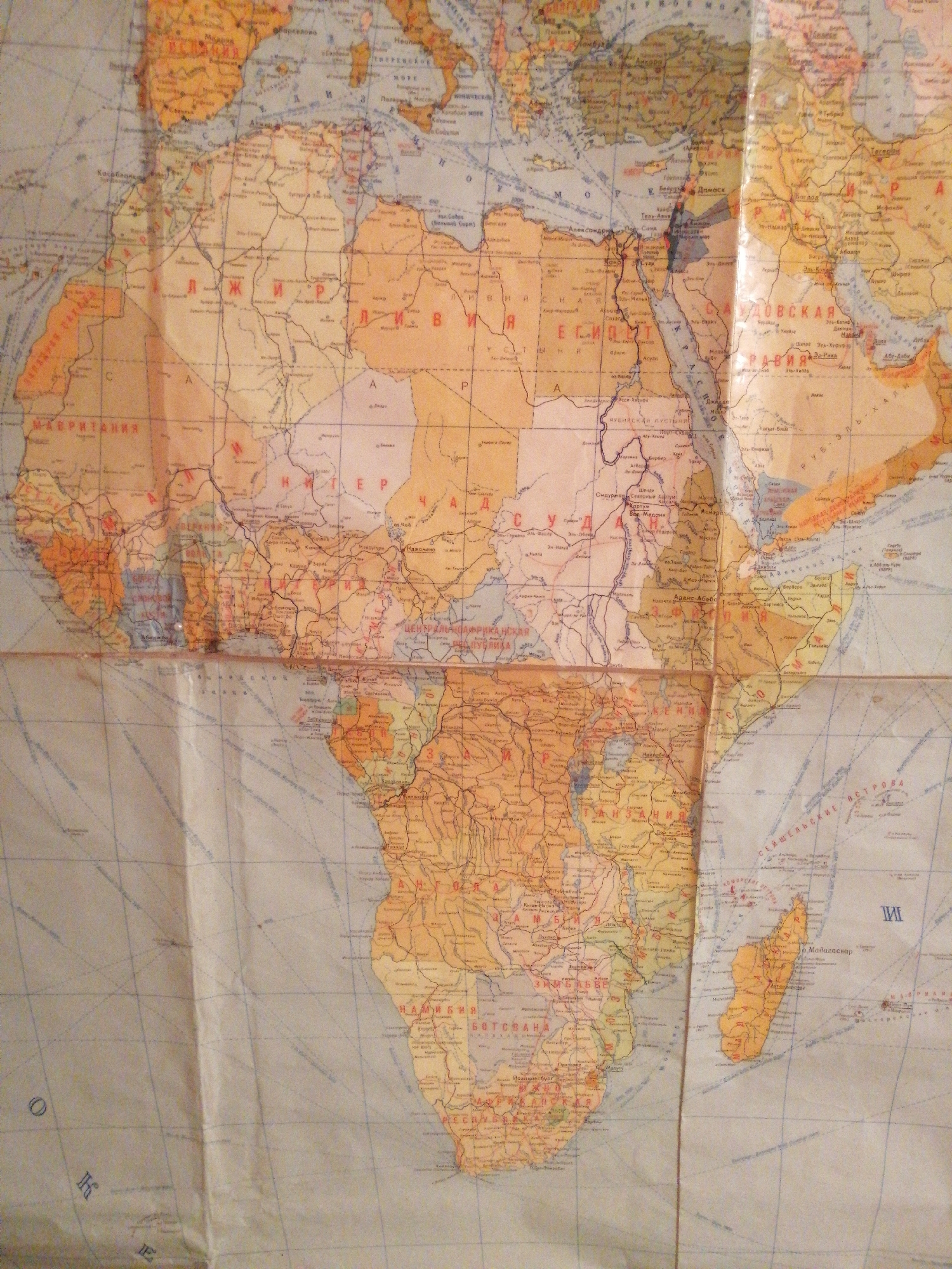
This is a close-up, overhead photograph of a vintage world map, specifically focusing on Africa and parts of the Middle East. The map appears to be made of paper and is creased and slightly worn, suggesting it is an older item. The colors are muted, with a predominance of beige, orange, and faded red for landmasses, and blue for bodies of water and the sky. Prominently visible are the continents of Africa and the Arabian Peninsula. Numerous place names are written in Cyrillic script, indicating its origin or intended audience. Some clearly legible text includes "МАВРИТАНИЯ" (Mauritania), "ЕГИПЕТ" (Egypt), "АДДИС-АБЕБА" (Addis Ababa), "НАМИБИЯ" (Namibia), and "БОТСВАНА" (Botswana). Other discernible names are "ЦЕНТРАЛЬНОАФРИКАНСКАЯ" (Central African) and "СЕЙШЕЛЬСКИЕ ОСТРОВА" (Seychelles Islands), with "36. Мадагаскар" (36. Madagascar) also visible. The map is unfolded and laid flat, with shadows cast across it, suggesting it might be illuminated by overhead lighting. The texture of the paper is visible, along with some light reflections on its surface. The overall impression is of an educational or navigational tool from a past era. The image is cropped in a way that makes it difficult to discern a specific scene or activity beyond the examination of the map itself. There are no people or distinct objects other than the map. The location context provided (Pavlodar, Kazakhstan) suggests the map might be found in a library, archive, or private collection in that region.
Symbol
AECBA
Volume
1,183
Creator
+$0.00
Revenue
+$0.00
TVL
$0.24
2
Rev Bot 🤖💰
Injected revenue 1h ago
“Revenue bonus for the last stake.”
+$0.00 USD