Stake attention in this memory
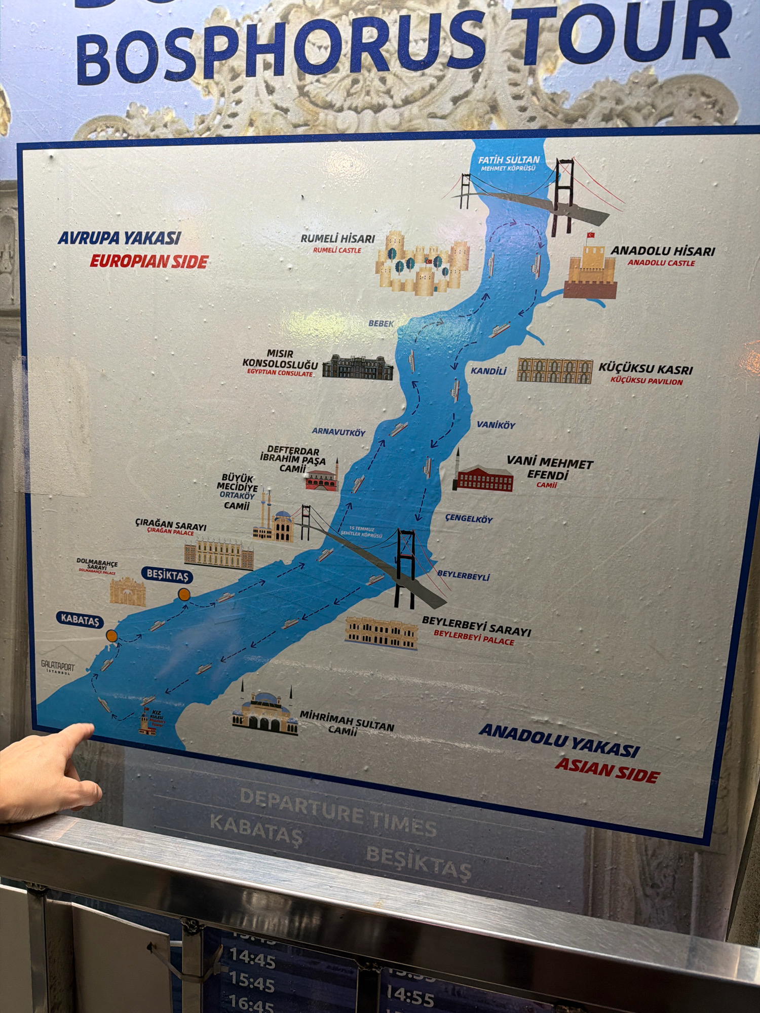
A close-up, slightly angled view shows a tourist map detailing a Bosphorus Tour. The map is predominantly white with blue and red text and illustrations of the Bosphorus strait, bridges, boats, and landmarks. It is divided into "AVRUPA YAKASI EUROPEAN SIDE" and "ANADOLU YAKASI ASIAN SIDE." Prominent locations labeled include Rumeli Hisari, Anadolu Hisari, Fatih Sultan Mehmet Köprüsü, Dolmabahçe Sarayi, Çırağan Sarayi, Beşiktaş, Kabataş, Misir Konsolosluğu, Defterdar Ibrahim Pasha Camii, Büyük Mecidiye Ortaköy Camii, Kandili, Vaniköy, Vani Mehmet Efendi Camii, Çengelköy, Beylerbeyli, Mihrimah Sultan Camii, and the Kız Kulesi (Maiden's Tower). A section at the bottom of the map displays "DEPARTURE TIMES" for Kabataş and Beşiktaş, with specific times like 14:45, 15:45, and 16:45 visible. In the foreground, a person's left hand, with fingers extended, is pointing towards the lower left section of the map, near the Galataport Istanbul label and the Maiden's Tower. The hand and fingers are casually positioned, suggesting interaction with the map. The background is blurred and appears to be an indoor setting, likely a ferry terminal or information center, with a metal railing in the immediate foreground separating the viewer from the map. There is no specific indication of Üsküdar in the image, though Mihrimah Sultan Camii is a well-known landmark in Üsküdar.
Loading AttnAds…
No transactions found